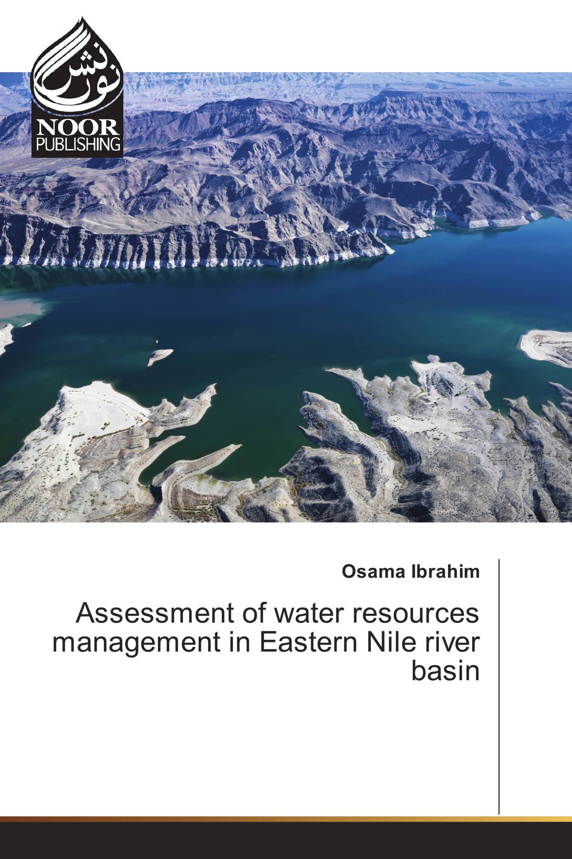
In semi-arid regions water resources are limited and hereby the available water for irrigation and other water uses are severely constrained. The hydrological regime in these areas is extreme and highly variable mainly due to rainfall patterns characterized by events of short duration and high intensities and large heterogeneity of the landscape. It is necessary to understand the mechanisms and driving forces behind each component of the hydrological cycle to allow for reliable estimates of the overall water resources. In the present thesis distributed hydrological model (GBHM) code has been applied to the Blue Nile Basin and Atbara Basin in Northern Africa to investigate the hydrological behavior of the basin. A special research focus has been to develop methods for estimating the spatial and temporal distribution of precipitation, discharge and soil erosion patterns using remote sensing data. Also, this model was used for flood forecasting and the effect of climate change in the future. First of all, estimation of precipitation using Global Satellite Mapping of Precipitation (GSMAP) project are evaluated over Blue Nile Basin and Atbara Basin in Africa for the period of 2001-04.
تفاصيل الكتاب: |
|
|
ISBN-13: |
978-3-330-84497-1 |
|
ISBN-10: |
3330844973 |
|
EAN: |
9783330844971 |
|
لغة الكتاب: |
English |
|
By (author) : |
Osama Ibrahim |
|
عدد الصفحات: |
168 |
|
النشر في: |
05.01.2017 |
|
الصنف: |
Other |
