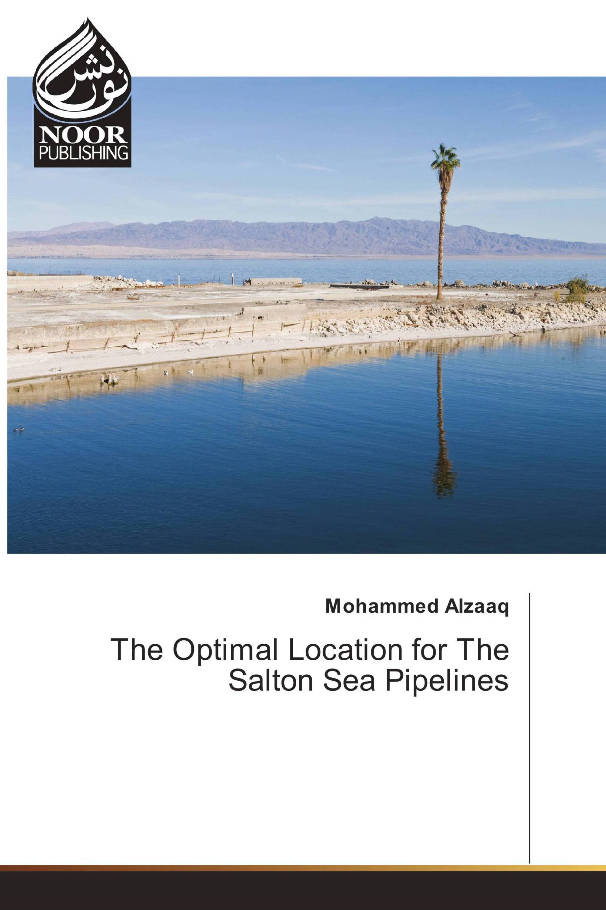
The Salton Sea is located along the San Andreas Fault, south of California, between Imperial and Coachella Valley. The sea is the largest lake in California with 370 sq. miles of water surface area and has one of the lowest surface elevations at 277 feet below sea level. The problem with the Salton Sea is its higher level of salinity than most of the water resources surrounding it. This project requires software such as ArcGIS to organize, process, and analyze the data for finding the optimal location for pipelines between the Salton Sea and the Gulf of California with minimal environment impacts. By considering some data for the study area such as slope, cities, rivers, roads, land cover, and protected land, the least cost path analysis tool was used to create the optimal route for the pipelines. Additionally, solar radiation analysis was performed to map and analyze the sun effects for a specific area using spatial variability of isolation such as aspect, elevation, and shadows. Solar radiation, slope, and proximity to o the proposed pipelines were then used to identify appropriate sites for solar plants using weighted overlay analysis.
Détails du livre: |
|
|
ISBN-13: |
978-3-330-96551-5 |
|
ISBN-10: |
3330965517 |
|
EAN: |
9783330965515 |
|
Langue du Livre: |
English |
|
de (auteur) : |
Mohammed Alzaaq |
|
Nombre de pages: |
80 |
|
Publié le: |
25.05.2017 |
|
Catégorie: |
Géographie |
